Pleasant Hills Station |
Munyabla
 Urangeline East
|
| Main facility: | Station (Closed) | ||||
| Lines: |
Rand Branch |
||||
| Location: | line-map (146.7983°, -35.4585°) GDA94 | ||||
| Distance: | 606.390 km from Sydney | ||||
| History: |
|
||||
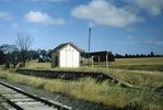
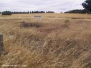
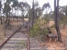
| Photos: | 1980, 2001 | ||||
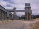
| Description: | In 1933 a silo siding had been added. In 1937 the location was made an unattended crossing station, and the signalling changed accordingly. | ||||
| Current status: | The station has been demolished, but the silo is still present. |
Photographs


Diagrams
1920:


1933:


1937:


