| Main facility: |
Station (Closed)
|
| Lines: |
Tumbarumba Branch
|
| Location: |
line-map
(147.7616°, -35.4934°) GDA94
|
| Distance: |
604.600 km from Sydney
|
| History: |
| 14-May-1917 | Opened |
| 4-May-1975 | Closed |
|
| Photos: |
2004, 2005 |
| Description: |
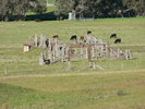
The station stood on an 85m down platform. A tank at the down end served water columns at each end of the platform. Opposite were a loop siding and a goods siding, the latter with a loading bank, goods shed and gantry crane. At the down end of the station was a triangle leading to the coal stage, and a stock siding and stock yards.
|
| Current status: |
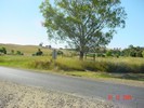
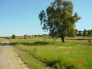
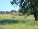
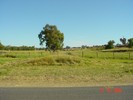
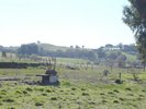
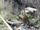
Visible from the road are a siding, 2 two-lever frames and the associated signals.
|
 Nurla
Nurla
