| Main facility: |
Station (Closed)
|
| Lines: |
Tumut Branch
|
| Location: |
line-map
(148.1133°, -35.0655°) GDA94
|
| Distance: |
483.880 km from Sydney
|
| History: |
| 1-Jun-1886 | Opened |
| unknown | Closed |
|
| Other facilities: |
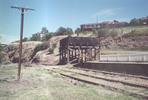
Turntable: unknown size, manual?, ruins |
| Photos: |
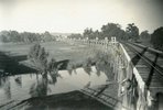
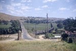
unknown, 1950, 1960, 1987, 1997, 2000, 2001, 2003, 2004, 2005 |
| Description: |
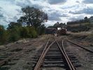
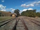
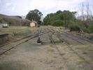
A major station on the line, the platform was 100m long on the up side of the line, on a loop siding. Opposite the down end of the station was a short siding serving the turntable and a coal stage. At the down end of the station was an elevated water tank. At the up end of the yard were 3 goods sidings and a goods platform and shed.
|
| Current status: |
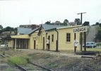
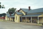
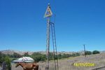
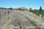
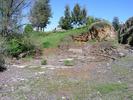
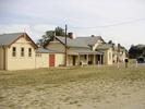
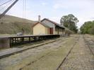
The station building has been preserved. 2 tracks and signals are still present. The goods shed and weighbridge have been restored. The water tank remains, but only the filled pit remains of the turntable.
|
 South Gundagai
