St Clements Station |
| Main facility: | Platform (Closed) | ||||
| Lines: |
Boorowa Branch |
||||
| Location: | line-map (148.5612°, -34.5669°) GDA94 | ||||
| Distance: | 370.209 km from Sydney | ||||
| History: |
|
||||
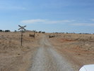
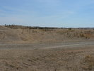
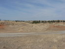
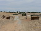
| Photos: | 2005 | ||||
| Description: | An up-side platform which served the nearby Catholic monastery of the same name. It sat opposite a large cemetery. | ||||
| Current status: |
Photographs


