| Main facility: |
Station (Closed)
|
| Lines: |
Tumbarumba Branch
|
| Location: |
line-map
(147.7149°, -35.2961°) GDA94
|
| Distance: |
577.180 km from Sydney
|
| History: |
| 15-Apr-1917 | Opened as Upper Tarcutta |
| 31-May-1925 | Renamed Tarcutta |
| unknown | Closed |
|
| Photos: |
1984, 2000, 2001 |
| Description: |
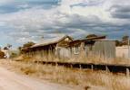
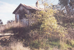
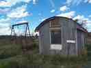
A 76m up side platform. Opposite were loop and goods sidings, the latter with a gantry crane, goods shed and loading bank. At the down end of the yard was a stock siding and stockyards.
|
| Current status: |
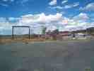
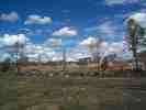
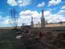
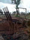
In 1999, the station area was fenced off and being used as a works area. The platform and station building were still present, as well as an approach signal. The southern end of the yard is under the Hume Highway. The station burnt down on 16/01/2001. The 6-lever frame was removed in May 2002 for preservation.
|
